Route: St. Arnard --> Lakehead hut --> Angelus Hut --> Speargrass Hut --> St. Arnard. Appx 30 miles.
"Beautiful, and surprisingly difficult for the altitude."
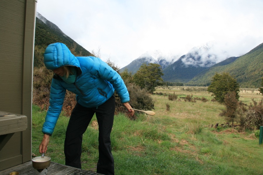
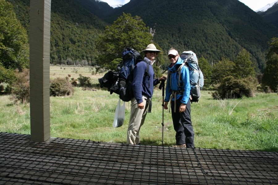
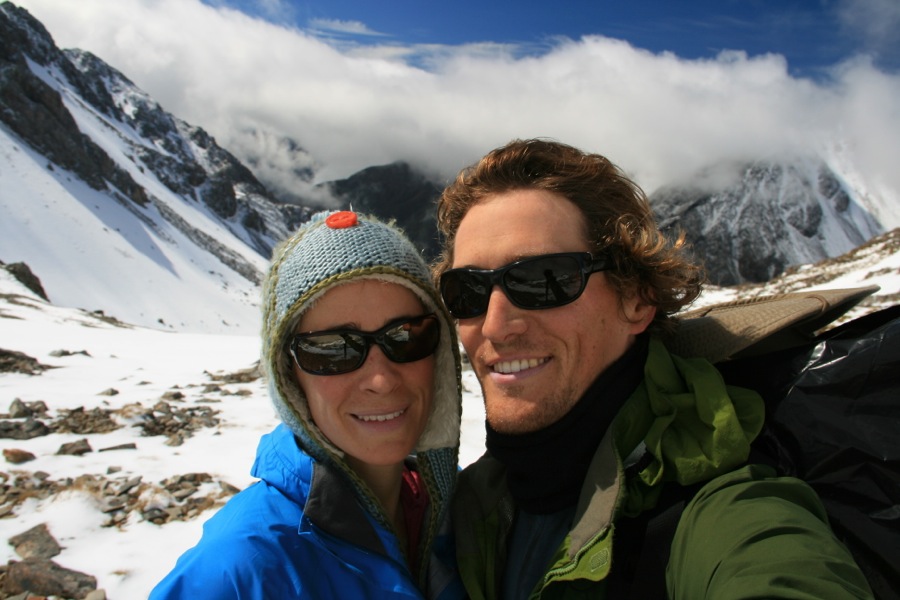
We packed enough food for a lifetime (or a week). Being our first true wilderness trip where we actually had to carry our own food for more than a day (imagine that), we were worried about starving. With the way we both eat, this meant 35lbs of food, maybe more, for what we thought would be a 6-day hike, or "tramp".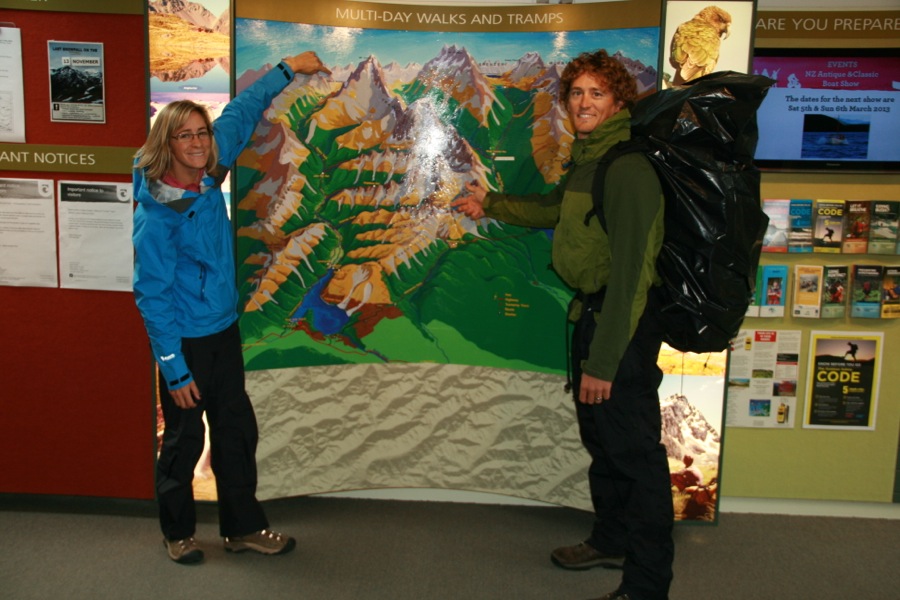
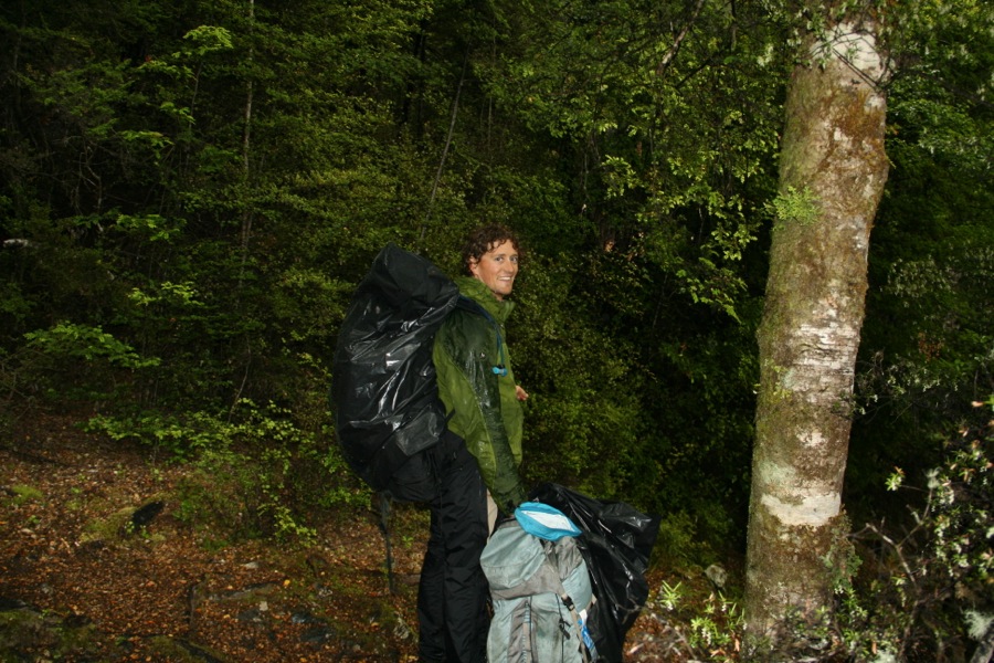
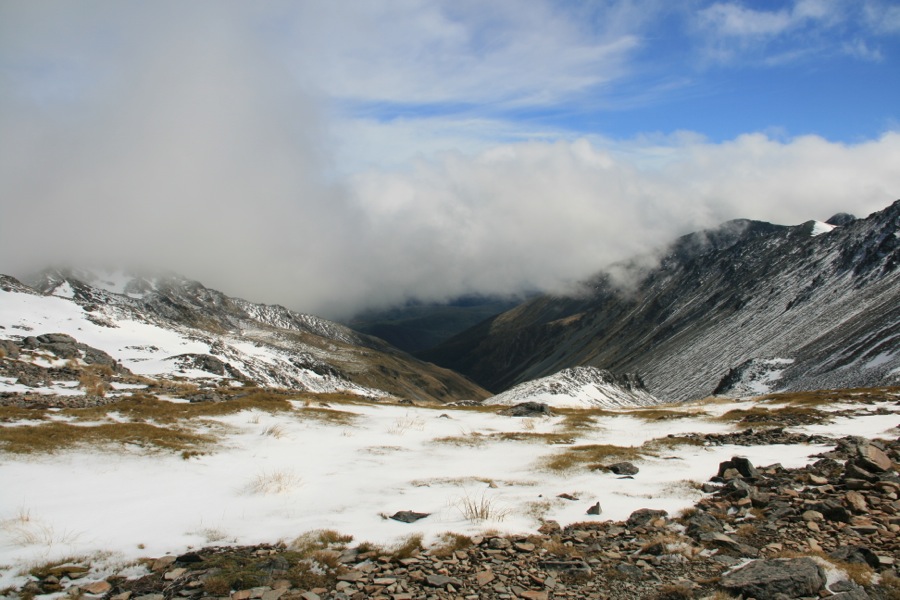
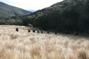
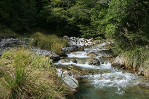
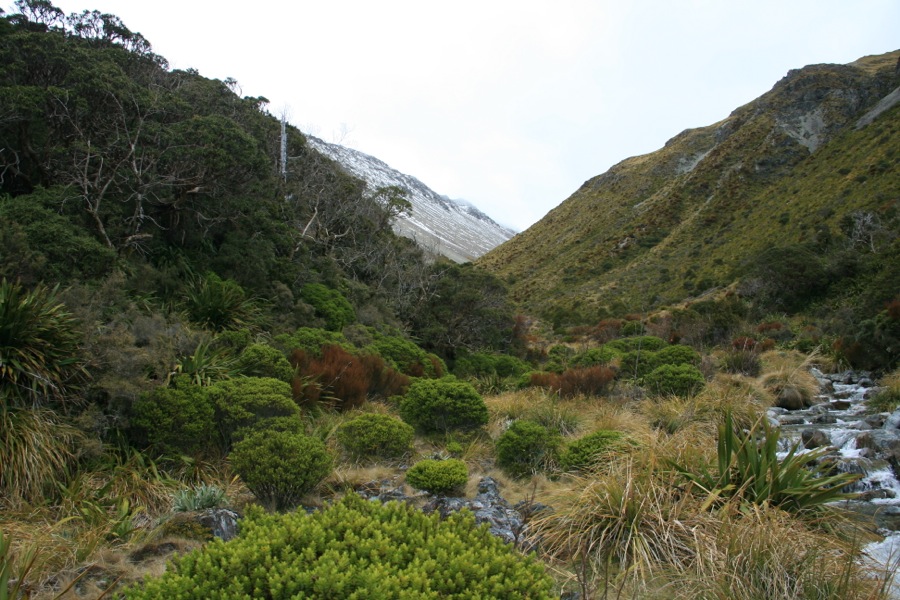
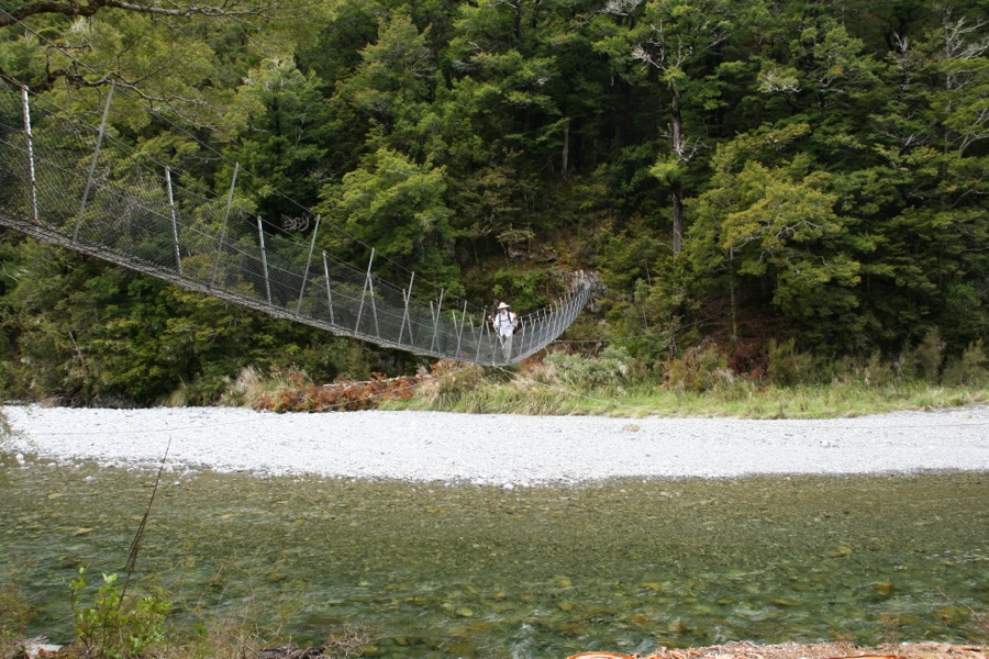
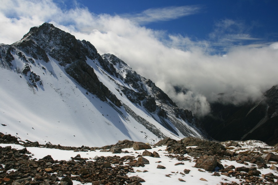
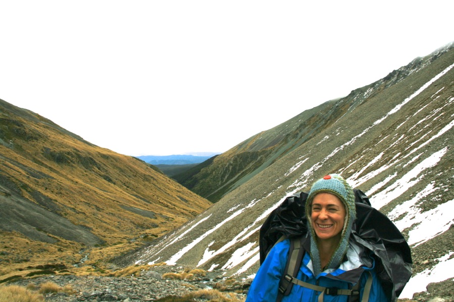
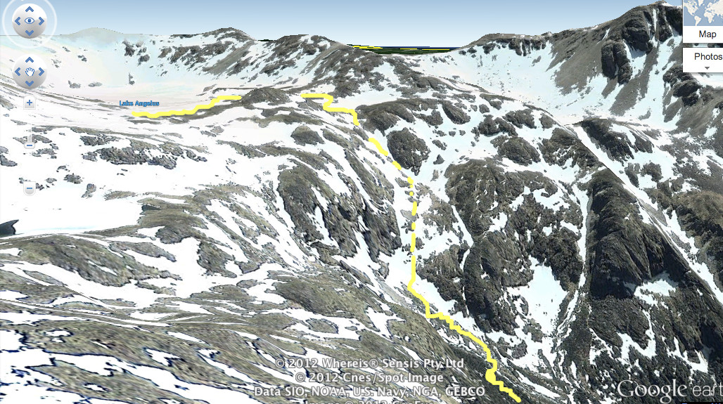 Just to get to this place from where I took the photo involved climbing up a stream bed. The water was a trickle, but we got completely wet, and it was more like rock climbing than hiking. We crossed a foot bridge over a raging little river, out of the trees, and the real challenge began.
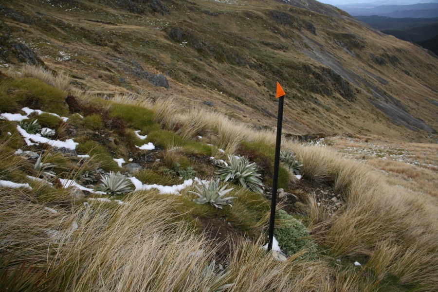
The hike was very, very steep, and loose footed because it was so wet. But then the sleet started to accumulate, and the visibility dropped. We were glad for the trail markers.
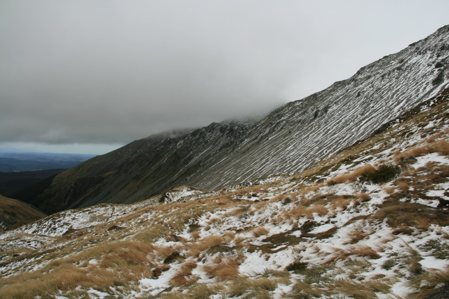
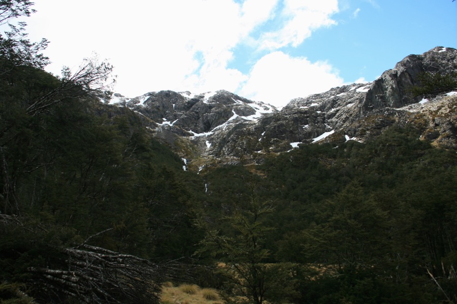
We had to cross snow fields, which was creepy because we did not have crampons, but even so, not sure they would have helped much should the whole slope decide to give way. But the snow wasn't that deep - the weather had been good the whole previous week, this was just a freak late spring storm.
So up we went. One area was particularly tricky, with a drop to our right down into a frozen river, with a steep snow field we had to cross, over to a rocky outcrop which was more mud and grass than secure handholds. After some talking about where best to place feet for purchase, we made it up the slope. From there it got easier, and at 6:30pm we finally made it over the top ridge to the hut.
Angelus Hut
The hut was beautiful, but sadly there was no firewood to warm us, and we are all alone (after that day we were really hoping for some other people to share our misery!).
There are four ways to the Angelus Hut. I was concerned that we would have more trouble getting back down the next day. The route we came up was barely do-able in those conditions, and I decided I would sooner get helicoptered out before heading back down that way. But knowing nothing of the other routes, we were not sure if they would be any better! Another soul at the hut, along with some hiking advice, would have been a nice end to the day. Alas, we took out the topomap and figured it out for ourselves. We decided the Cascade Track had to have been the worst as it was the steepest and south facing.
The next morning was a bit foggy but otherwise pretty nice for the high mountains, so we packed up early and tried to take the Robert's Ridge - supposedly a spectacular hike with amazing views. We made it about 1.5 hours on this ridge before turning around at a incredibly steep snowfield of an estimated 8' depth. The only other way was to rock climb the needle-like ridgeline, which also did not sound safe.
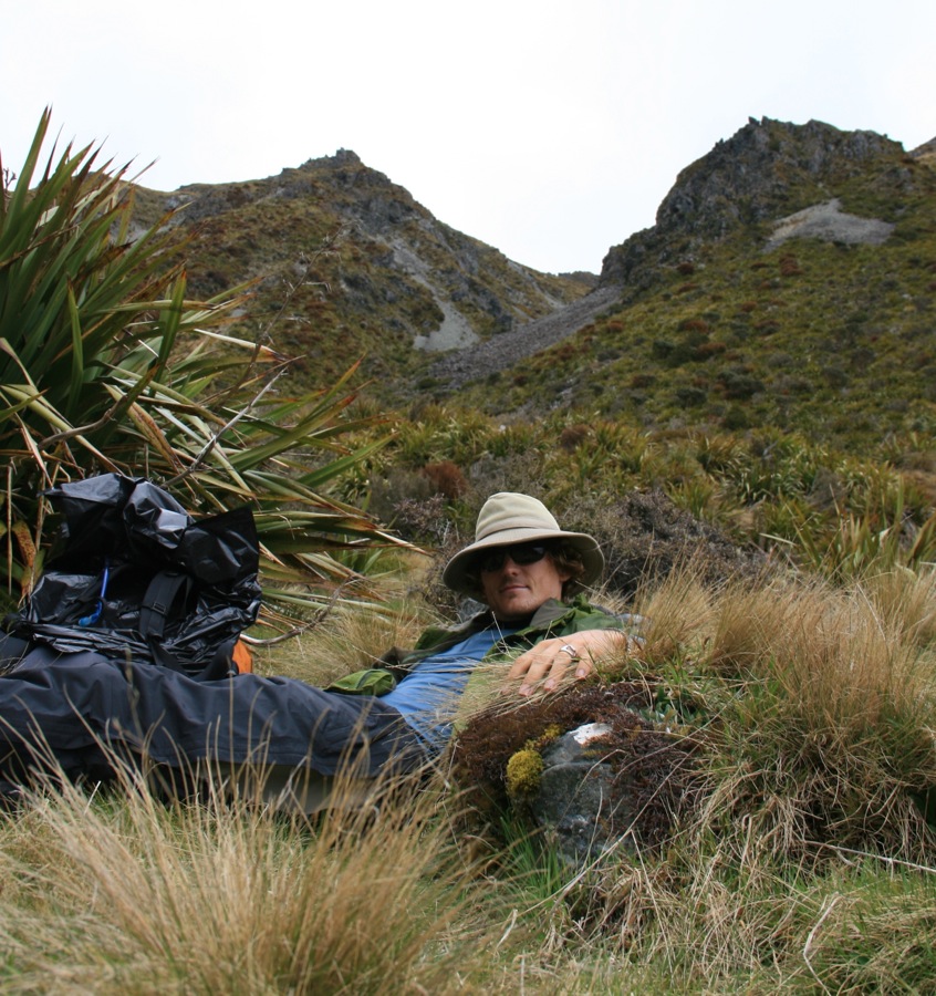
 So, our backup plan took the Speargrass Route down. Not as exciting as it ends up in the forest and left us with about a 6 mile hike in the trees with no view, but the descent was gentle, and in the slippery areas there were no crevices or precipices to fall off, so slip and fall we did, several times, until the snow ended and the mud began. A few hours later we were down in the trees again, safe, and at a hut with a fun crowd.
Speargrass Hut
Seven elder gentlemen - ranging in age from 72-79, occupied this 12 person hut, and they were planning on heading up to Angelus the next day. Each year this group of friends gets together (or those that make the wait list, there is a limit they say) and does a tramp somewhere on the south island. With full packs, all their food - this was impressive! We can only hope to be so fit at their age. Needless to say, our experience was good advice for them, and while no one was able to help us, we were happy to help them - based on how slippery the trail was and how much snow was still present up top ("You mean the lake is still frozen?! It's never frozen this late"), they decided against heading up to the top and took an easier route instead. Good choice my lads.
 After an amazingly sound sleep (adrenaline finally drained), we headed out to the Robert's car park, and were lucky enough to meet two German buddies with a van, who drove us back to St. Arnard, turning a 12-mile hike into only 6-miles.
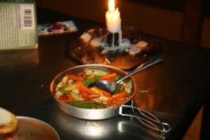
 We ended up still having abot 20lbs of food, since our trip was cut short. We ate really, really well - from oatmeal with berries and honey, curry chicken soup and mint cookies to popcorn, salami, cheese, stir-fired veggies with butter and pumpkin seeds.



3 Responses to Nelson Lakes National Park