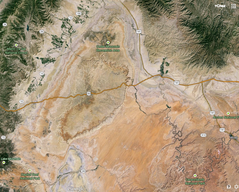
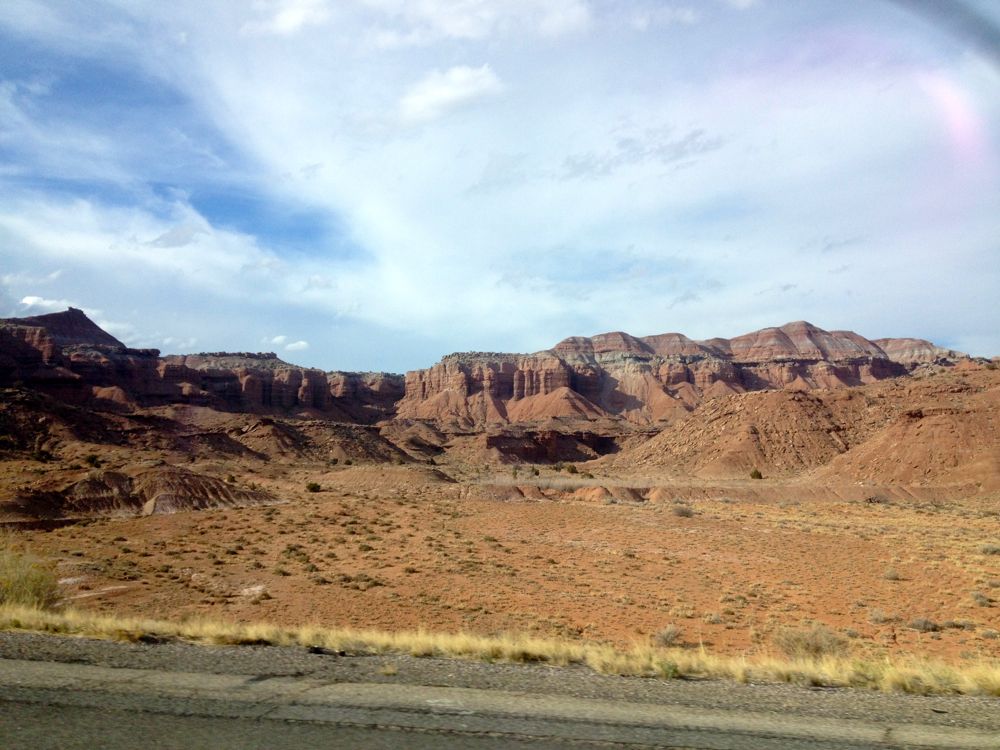
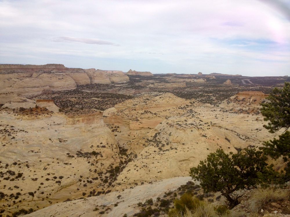
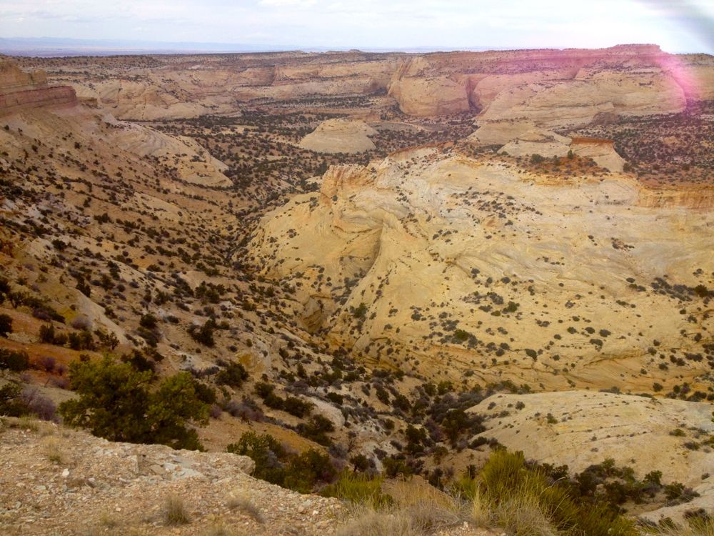
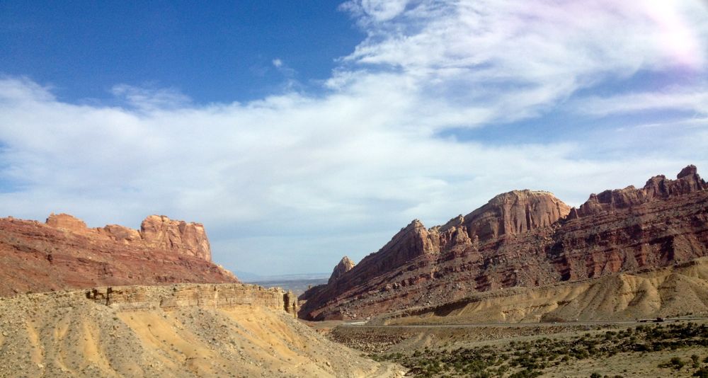
The San Rafael Swell is a really neat area that happens to be bisected by Interstate 70, meaning lots of people get to see it even if they don’t realize what they are driving through.
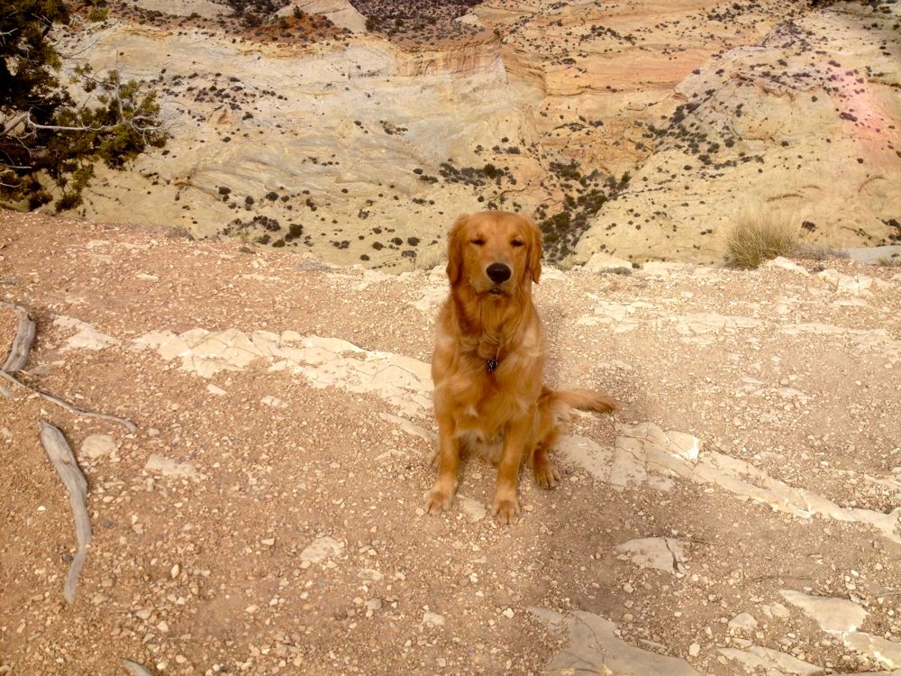
The San Rafael Swell, 2,000 square miles of public land, is known for its scenic sandstone formations, deep canyons, desert streams, and expansive panoramas. Aside from Interstate (1-70), only old uranium mines, dirt roads, livestock improvements, and simple recreation facilities are evident.
The swell is approximately 75 miles (121 km) by 40 miles (64 km), consists of a giant dome-shaped anticline of sandstone, shale, and limestone that was pushed up during the Paleocene Laramide Orogeny 60-40 million years ago. Since that time, infrequent but powerful flash floods have eroded the sedimentary rocks into numerous valleys, canyons, gorges, mesas and buttes. The swell is part of the Colorado Plateau physiographic region.
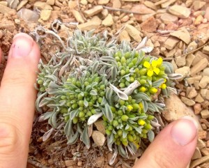
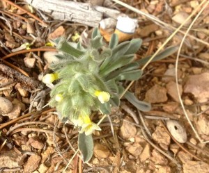
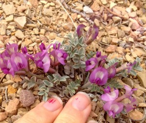
The swell is also home to 8 endemic plant species (found no where else in the world):
Astragalus rafaelensis
Cryptantha johnstonii
Cryptantha jonesiana
Erigeron maguirei
Pediocactus despainii
Sclerocactus wrightii
Sphaeralcea psoraloides
Thelypodiopis barnebyi
And another 7 endemic to the swell and near-by areas:
Astragalus pardalinus
Astragalus woodruffii
Hoffmanseggia repens
Hymenoxys depressa
Lomatium junceum
Psorothamnus polyadenius
Townsendia aprica
